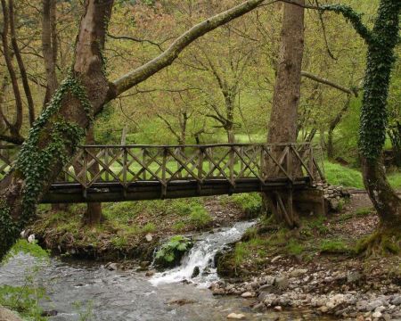
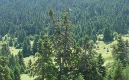
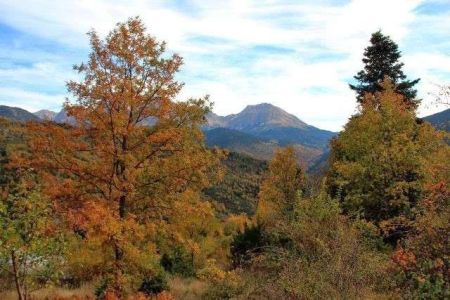
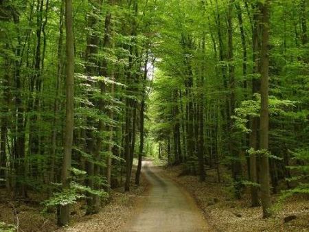
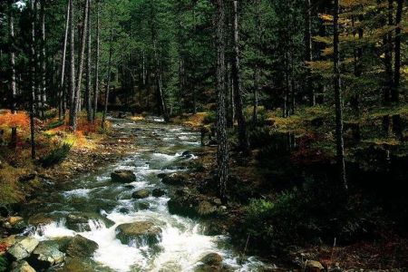
Participating in Bike Odyssey you will have the opportunity to see some of the most beautiful forests in Greece. We present you the main ones:
KOZIAKAS (UNIVERSITY FOREST OF PERTOULI)
The University Forest of Pertouli of Trikala is a public forest owned by the Greek State. It is located in Central Pindos and extends between the mountains of Koziakas and Boudoura. The height of the forests is about 1.100-1.700 m. Its area amounts to 3,296.59 ha, with wooded or partially wooded land (fir, pine trees, etc.), bare or arid areas within the forest, mountain pastures, forested meadows and others.
For its proper management, the forest has been divided into 9 horticultural units (Braikos, Vathy, Koromilia, Galderimi, Lyxa, Koziakas, Vigas, Liopeika and Glapatsa). Forestry and management measures are taken to protect the forest, while the primary aim is to preserve the sustainability of forest fruits and yields.
In the University Forest of Pertouli operates a ski center with a 1.100 meter track with medium difficulty gradients and a high capacity lift (transfer of 172 people in 13 minutes). It operates in such a way that the environmental impact is minimal and its contribution to the economic development of the region is particularly important.
TYMFRISTOS
Tymfristos or Velouchi is a mountain of Sterea Hellas. It has an altitude of 2,315 meters and occupies a large part of the prefectures of Evritania and Fthiotida. It is enclosed to the north by Agrafa, and to the south by Vardousia and Kaliakouda. To the east is the plain of Sperchios. It is covered by dense forests. On its slopes is built Karpenissi. This is the source of the Sperchios and Karpenissiotis rivers. Close to its peaks is formed Alpiki Lake.
In antiquity, the mountain was called Tymfristos, or Tefrastos or Tyfristos. According to one version, his name is due to a homonymous mythical face. According to another version, supported more by the variants of Tefrastos or Tyfristos, the name derives from the word ash (tefra in greek), because the naked volume of the mountain is ash-colored. We meet it for the first time in written text in 1453. There is also the theory of Slavic origin from the "white mountain" which is probably a paradox that does not resonate in other high mountainous locations in the Balkans. Moreover, Slavophone groups are not testified in Evritania.
GRAMMENI OΧIA
The forest is part of the mountain of Grammeni Oxia (oxia means oak in Greek), which is an extensive mountainous area at the borders of the prefectures of Etoloakarnania, Fthiotida and Evritania, surrounded by the "giants" Vardousia and Giona in the southeast, Velouchi (Tymfristo) in the north and Kaliakouda in west.
The mountain took its name from the oak tree that dominates there. In fact, the oak forest hosted on its slopes is the southernmost oak forest in Europe.
The highest peak, Sarantena, has an altitude of 1923 m. It is exposed to the northern streams that descend from Velouchi and is considered to be one of the coldest places in Greece. The frozen air never stops blowing and dense fog is the most common visitor.
It is said that it took its name when forty people who were turning from a wedding died from the cold on its frozen slopes.
At an altitude of 1740 meters there is the mountain shelter of Oxia.
MORAVA (KASTANIA OF TRIKALA)
Kastania is a village that has often been the starting point or end of many mountainous routes. At the entrance to the valley of Aspropotamos, just below the mountain range of Morava, it boasts for one of the most beautiful forests in our country. It is that starts right over the last houses of the village and covers the slopes of Morava. Encircled with firs and oaks high up to the peaks, it looks dark green, almost black from afar. It is a biotope of the bear and other large mammals such as deer.
VALIA CALDA (PINDOS NATIONAL PARK)
We have presented before in a separate article the National Park of Valia Calda, but we could not exclude a jewel like this from this article. So, we remind you in summary some details about it:
The Pindos National Park, also known as Valia Calda, is located in a particularly inaccessible area of the Pindus mountain range, at the borders between the Grevena and Ioannina prefectures. Its total area reaches 68,990 acres.
The valley includes Valia Calda and Arkoudorema Valley as well as Lygos and Mavrovouni Mountains. It is characterized in particular by the variety of morphological contrasts with steep cliffs and rapids, as well as dense forests.
The park is located on the border of the Prefecture of Grevena with the prefecture of Ioannina, north of the town of Metsovo, and the villages of Vovousa, Perivoli, Krania of Grevena and Milea of Grevena are located peripherally. There are no settlements within the boundaries of the protected area. The core of the Forest covers most of the valley of Valia Calda and the slopes of the surrounding peaks. These peaks, part of the Lygos mountain range, form a petal around the valley, leaving an opening to the West. Several peaks reach an altitude of over 2000 meters.
The two small mountain streams, the Salatouras and the Hot Stream, which join with Arkoudorema, the rushing tributary of Aoos, belong to the forest.
The forest includes a total of 68,990 acres, of which 33,490 are in the core and 35,500 in the protection zone.
It is one of the most important and virgin forests. It is one of the last habitats of the brown bear and the wildcat, as well as a place where they resort the most important species of Greek fauna. Every year dozens of travelers visit Valia Calda valley to admire its unique and unforgettable landscapes.


